Resample & Reproject Images
Technical Guides & other documentation
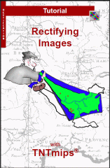
The Automatic Resampling process in TNTmips uses georeference control point information to perform simple rectification of distorted images and to transform a raster image into a desired geographic coordinate system.